


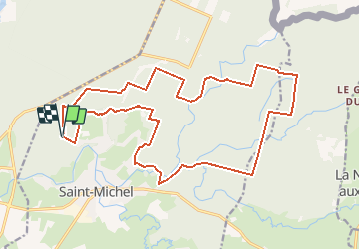

13,4 km | 16,3 km-effort

Benutzer


Kostenlosegpshiking-Anwendung
 SityTrail
IGN / Geografische Institute
SityTrail World
Die Welt öffnet sich für Sie
Tour Mountainbike von 20 km verfügbar auf Nordfrankreich, Aisne, Saint-Michel. Diese Tour wird von tracegps vorgeschlagen.
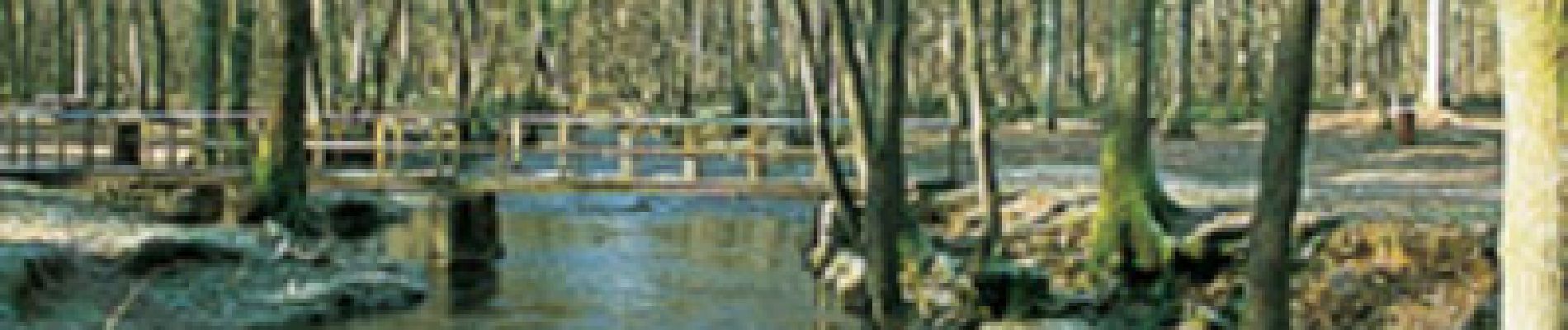
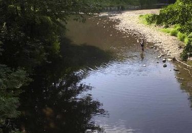
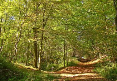
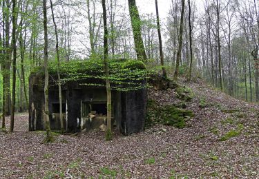
Réservé aux vététistes confirmés, ce beau circuit en forêt domaniale de Saint-Michel comporte une succession de montées et de passages techniques. Il évolue entre chênes, hêtres, épicéas et charmes, traverse les ruisseaux à gué avant de revenir vers l'ancien gîte du Pré-Lorquin. Toutes les infos sont ICI


Wandern

Nordic Walking
Nordic Walking
Wandern
Mountainbike
Fahrrad
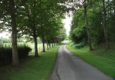
Wandern

sport
Mountainbike