


13,8 km | 16,8 km-effort

Benutzer


Kostenlosegpshiking-Anwendung
 SityTrail
IGN / Geografische Institute
SityTrail World
Die Welt öffnet sich für Sie
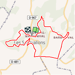
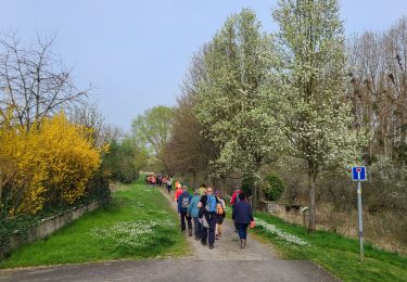
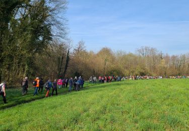
Tour Wandern von 9,6 km verfügbar auf Nordfrankreich, Aisne, Les Septvallons. Diese Tour wird von tracegps vorgeschlagen.
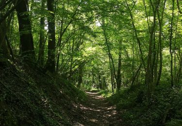
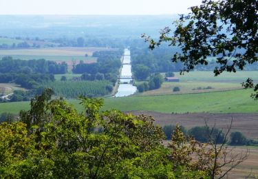
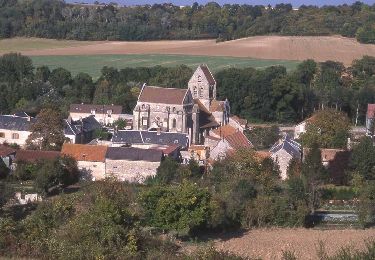
De Longueval, dont l'église aux vitraux contemporains accueille des concerts, on rejoint la ferme de Pinçon, accrochée au bord du plateau : les pierres et poteries découvertes tout près témoignent de la présence d'un oppidum romain, au lieu-dit Sorcy. La variante permet de découvrir le village de Vauxcéré, et le retour celui de Barbonval, avec leurs creuttes. Toutes les infos sont ICI


Wandern
Wandern
Wandern
Wandern
Wandern
Mountainbike
Wandern
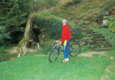
Mountainbike
Wandern