


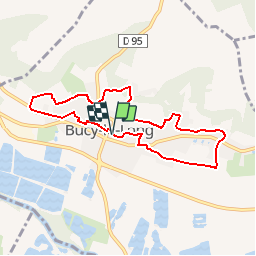

10,8 km | 12 km-effort


Benutzer


Kostenlosegpshiking-Anwendung
 SityTrail
IGN / Geografische Institute
SityTrail World
Die Welt öffnet sich für Sie
Tour Wandern von 7 km verfügbar auf Nordfrankreich, Aisne, Bucy-le-Long. Diese Tour wird von tracegps vorgeschlagen.
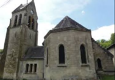
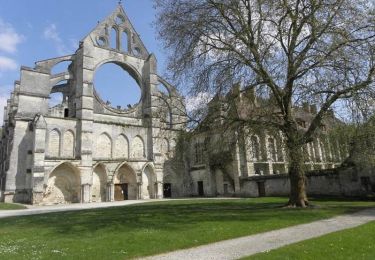
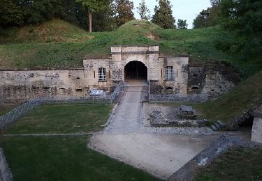
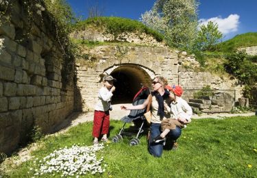
Ce circuit part à la découverte du ravissant village de Bucy-le-Long : il emprunte sentes, ruelles et sentiers, longe lavoirs, églises et châteaux entre colombiers et maisons à pas-de-moineaux. Toutes les infos sont ICI


Wandern
Wandern

Wandern
Fahrrad
Wandern
Wandern

Wandern
Wandern
Wandern