


10,8 km | 12 km-effort


Benutzer


Kostenlosegpshiking-Anwendung
 SityTrail
IGN / Geografische Institute
SityTrail World
Die Welt öffnet sich für Sie
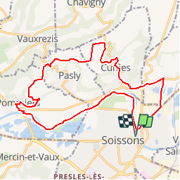
Tour Wandern von 18,9 km verfügbar auf Nordfrankreich, Aisne, Soissons. Diese Tour wird von tracegps vorgeschlagen.
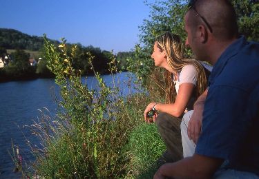
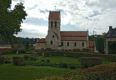
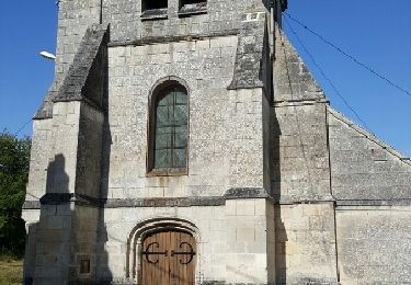
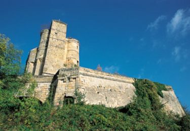
L'attrait principal de cet itinéraire réside dans les multiples points de vue sur Soissons, les cuvettes de Pasly et Cuffies, et la vallée de l'Aisne. On démarre en douceur sur les chemins de halage, avant de grimper sur le plateau calcaire, qui réserve quelques curiosités, comme l'ancien oppidum de Noviodunum. Toutes les infos sont ICI


Wandern
Wandern
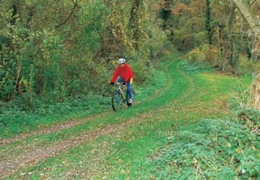
Fahrrad
Wandern
Wandern
Wandern

Wandern
Mountainbike
Mountainbike