


18 km | 22 km-effort


Benutzer


Kostenlosegpshiking-Anwendung
 SityTrail
IGN / Geografische Institute
SityTrail World
Die Welt öffnet sich für Sie
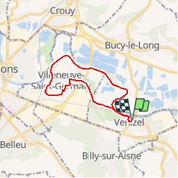
Tour Wandern von 10,8 km verfügbar auf Nordfrankreich, Aisne, Venizel. Diese Tour wird von tracegps vorgeschlagen.
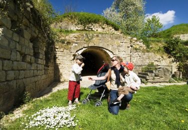
Entre Venizel et Villeneuve, l'Aisne a été canalisée. Cette promenade sans souci en longe les bords, permettant de rêver devant le spectacle des péniches à la grande écluse de Villeneuve, avant de revenir par la butte boisée du Moulin. Toutes les infos sont ICI


Wandern
Wandern
Fahrrad
Wandern
Wandern
Wandern
Wandern
Wandern
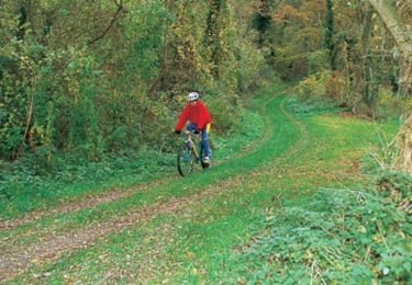
Mountainbike
excellent