


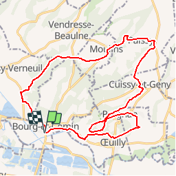

13,8 km | 16,8 km-effort


Benutzer


Kostenlosegpshiking-Anwendung
 SityTrail
IGN / Geografische Institute
SityTrail World
Die Welt öffnet sich für Sie
Tour Wandern von 19,5 km verfügbar auf Nordfrankreich, Aisne, Bourg-et-Comin. Diese Tour wird von tracegps vorgeschlagen.
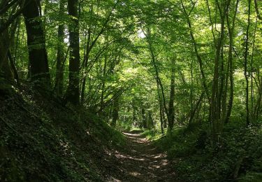
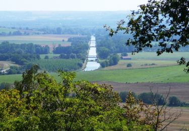
Au sud du Chemin des Dames, dans la vallée de l'Aisne, cette excursion met en valeur un type d'habitat peu connu, aménagé directement dans le rocher. Le village de Paissy possède encore de nombreuses creuttes. Toutes les infos sont ICI

Wandern
Wandern
Wandern
Wandern
Wandern
Mountainbike
Wandern

Wandern
Wandern
Très bien cela permet vraiment d éviter les erreurs , positionnement très précis