


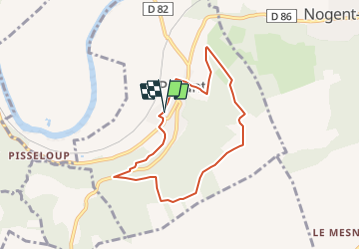

28 km | 35 km-effort

Benutzer


Kostenlosegpshiking-Anwendung
 SityTrail
IGN / Geografische Institute
SityTrail World
Die Welt öffnet sich für Sie
Tour Wandern von 6,4 km verfügbar auf Nordfrankreich, Aisne, Pavant. Diese Tour wird von tracegps vorgeschlagen.
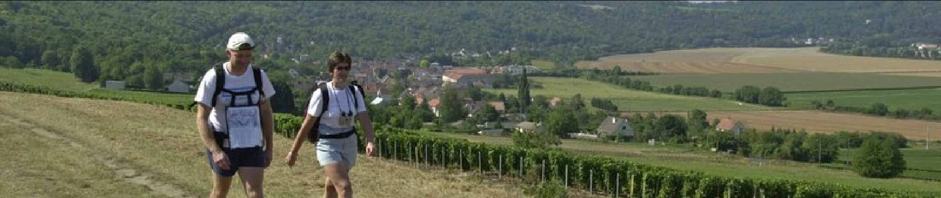
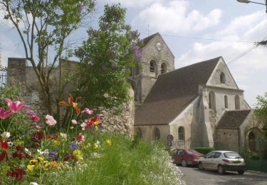
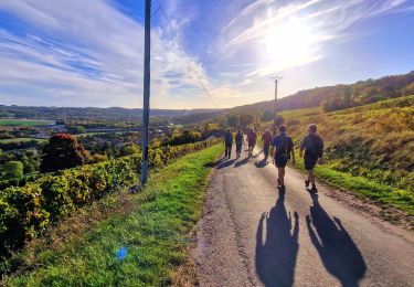
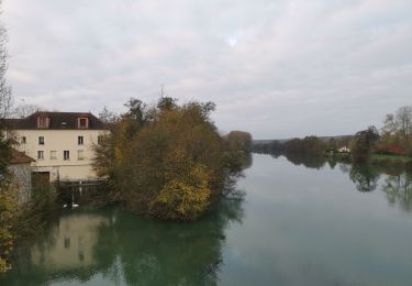
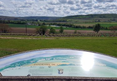
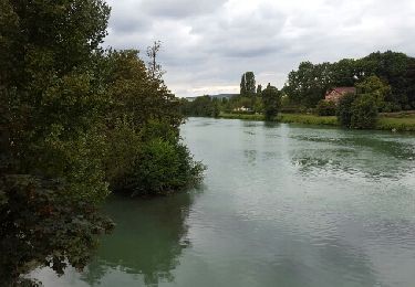
De Pavant, village viticole au clocher roman, un sentier court à flanc de coteau, dans les bois du Hatois, et emprunte au retour l'aqueduc de la Dhuys. A l'arrivée, on peut voir un pigeonnier du XVIIe siècle dans une cour de ferme. Toutes les infos sont ICI


sport
Wandern

Wandern
Wandern
Wandern
Wandern

Wandern

Wandern
Wandern