


28 km | 35 km-effort

Benutzer


Kostenlosegpshiking-Anwendung
 SityTrail
IGN / Geografische Institute
SityTrail World
Die Welt öffnet sich für Sie
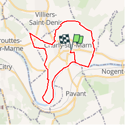
Tour Wandern von 16,3 km verfügbar auf Nordfrankreich, Aisne, Charly-sur-Marne. Diese Tour wird von tracegps vorgeschlagen.
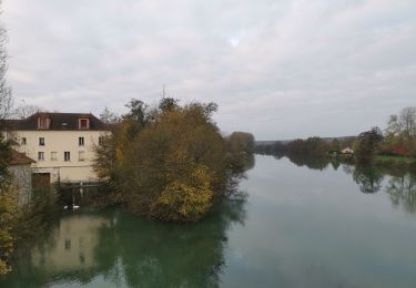
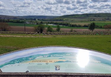
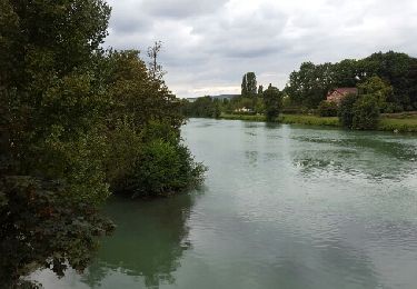
Depuis Charly, première commune viticole du département, on rejoint Saulchery, dominé par la statue de Napoléon 1er, puis la croix de Charly, où une table d'orientation permet d'identifier les nombreux villages de la vallée. Au retour, voir le barrage et l'écluse de Charly. Toutes les infos sont ICI


sport

Wandern
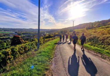
Wandern
Wandern
Wandern

Wandern

Wandern
Wandern
Wandern