


8,3 km | 9,1 km-effort

Benutzer


Kostenlosegpshiking-Anwendung
 SityTrail
IGN / Geografische Institute
SityTrail World
Die Welt öffnet sich für Sie
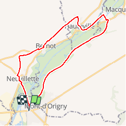
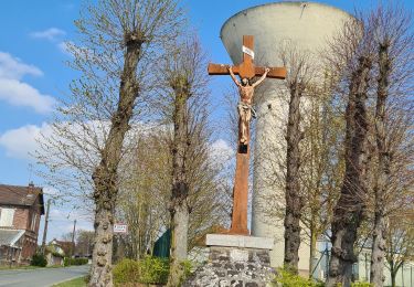
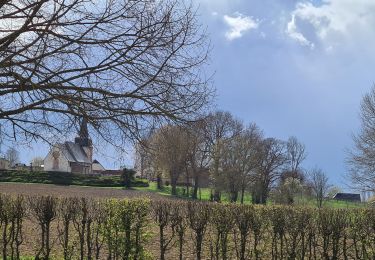
Tour Wandern von 15,5 km verfügbar auf Nordfrankreich, Aisne, Origny-Sainte-Benoite. Diese Tour wird von tracegps vorgeschlagen.
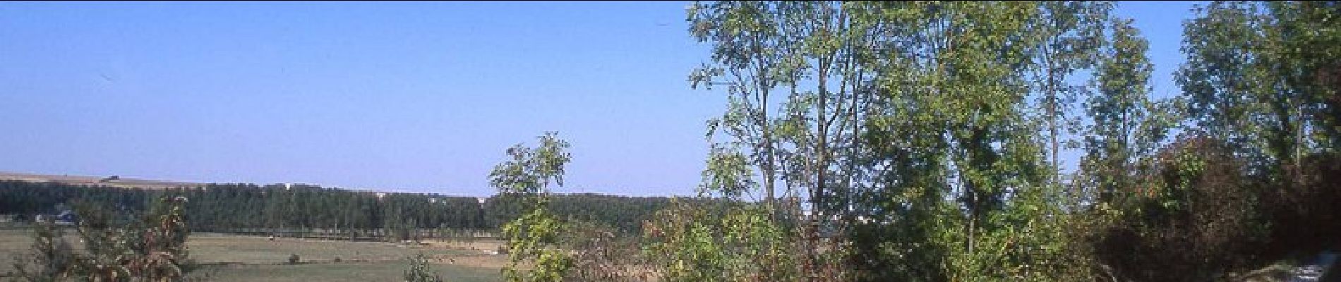
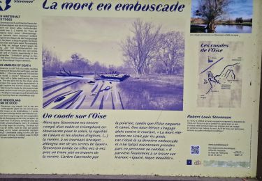
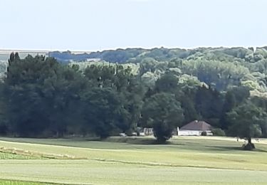
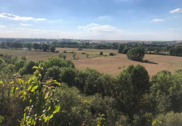
L'Oise déroule ses boucles sauvages rendues célèbres par Stevenson entre des coteaux crayeux propices aux orchidées. Le circuit permet d'apercevoir des rayères, ces anciens barrages destinés à alimenter les moulins, encore régulés par des pierres déplacées à la main, ainsi qu'un pont-canal et un pont tournant. Toutes les infos sont ICI


Wandern
Wandern
Wandern
Wandern
Wandern
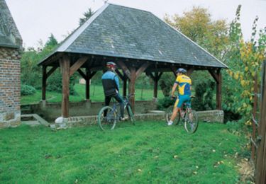
Mountainbike

Wandern
Wandern
Wandern