


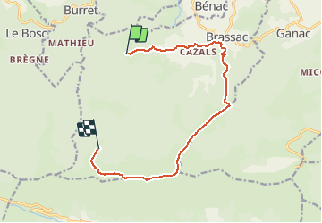

5 km | 14,7 km-effort


Benutzer


Kostenlosegpshiking-Anwendung
 SityTrail
IGN / Geografische Institute
SityTrail World
Die Welt öffnet sich für Sie
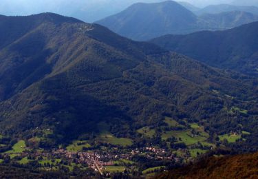
Tour Pferd von 12,7 km verfügbar auf Okzitanien, Ariège, Brassac. Diese Tour wird von tracegps vorgeschlagen.
Balade proposée par le Bureau des Guides Équestres Transpyrénéens Toutes les randonnées équestres dans les Pyrénées Sans Frontières à Cheval

Zu Fuß
Wandern
Wandern
Wandern
Pferd
Pferd
Pferd
Pferd
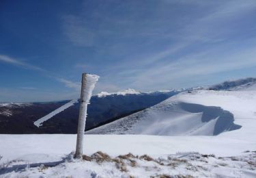
Schneeschuhwandern