


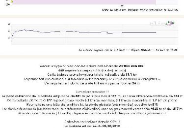
10,1 km | 14,3 km-effort

Benutzer


Kostenlosegpshiking-Anwendung
 SityTrail
IGN / Geografische Institute
SityTrail World
Die Welt öffnet sich für Sie
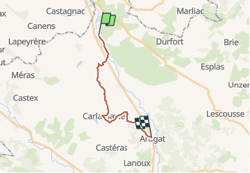
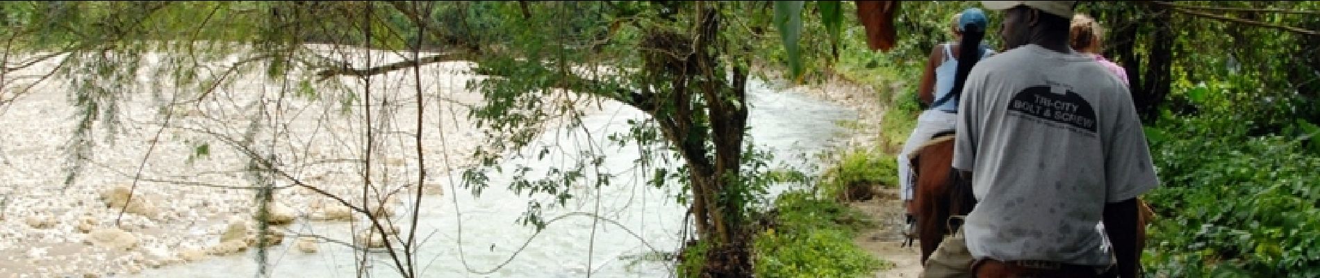
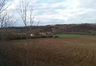
Tour Pferd von 14,6 km verfügbar auf Okzitanien, Ariège, Sainte-Suzanne. Diese Tour wird von tracegps vorgeschlagen.
Troisième étape de la Boucle du Terrefort. D’autres infos ici . Balade proposée par le Bureau des Guides Équestres Transpyrénéens

Wandern
Wandern

Zu Fuß

Wandern
Wandern
Wandern
Wandern
Wandern


sport