


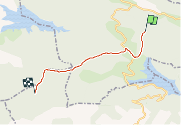

4,4 km | 5,7 km-effort

Benutzer


Kostenlosegpshiking-Anwendung
 SityTrail
IGN / Geografische Institute
SityTrail World
Die Welt öffnet sich für Sie
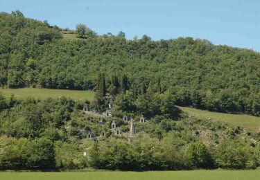
Tour Pferd von 4,6 km verfügbar auf Okzitanien, Ariège, Gabre. Diese Tour wird von tracegps vorgeschlagen.
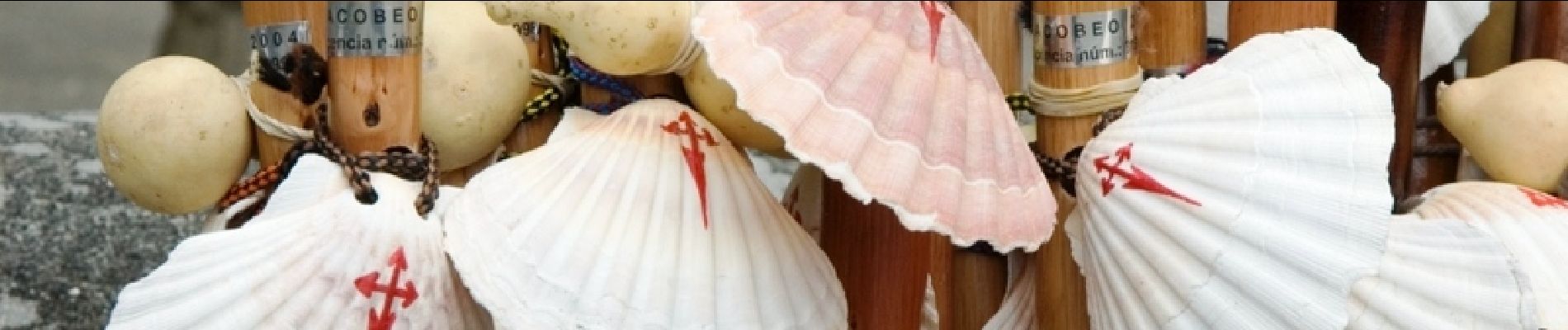
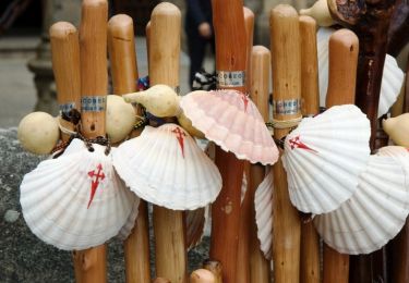
Cinquième étape des Chemins de St Jacques. D’autres infos sur Les Chemins de Saint-Jacques de Compostelle . Balade proposée par le Bureau des Guides Équestres Transpyrénéens


Zu Fuß
Wandern
Pferd

Pferd
Wandern

Wandern
Wandern
Wandern
Wandern