


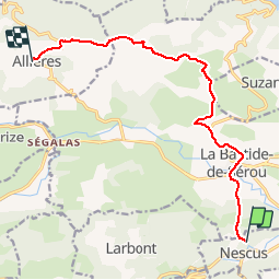

6,7 km | 9,1 km-effort

Benutzer


Kostenlosegpshiking-Anwendung
 SityTrail
IGN / Geografische Institute
SityTrail World
Die Welt öffnet sich für Sie
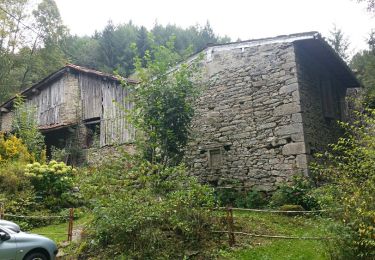
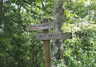
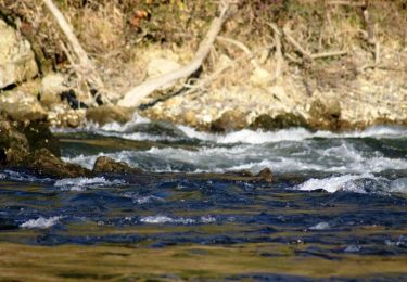
Tour Pferd von 12,3 km verfügbar auf Okzitanien, Ariège, Nescus. Diese Tour wird von tracegps vorgeschlagen.
Huitième et dernière étape de la Boucle du Massif de l’Arize. D’autres infos ICI. Balade proposée par le Bureau des Guides Équestres Transpyrénéens

Wandern

Zu Fuß
Wandern

Wintersport
Laufen
Mountainbike
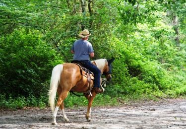
Pferd
Pferd

Wandern