


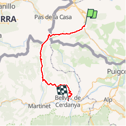

15,5 km | 28 km-effort


Benutzer


Kostenlosegpshiking-Anwendung
 SityTrail
IGN / Geografische Institute
SityTrail World
Die Welt öffnet sich für Sie
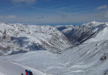
Tour Wandern von 40 km verfügbar auf Okzitanien, Ostpyrenäen, Porta. Diese Tour wird von tracegps vorgeschlagen.
Sixième étape du Chemin des Bonhommes. Réalisée par le Bureau des Guides Équestres Transpyrénéens, cette trace fait partie des Sentiers Transfrontaliers Pyrénéens. La partie espagnole est disponible sur le site Cami del Bonshomes ou sur TraceGps. Cette étape peut se faire en deux fois avec un bivouac à la cabane dels Esparvers. Il s’agit d’un abri précaire, donc prévoir du matériel de bivouac.

Wandern
Wandern
Wandern
Wandern
Wandern
Wandern
Wandern
Andere Aktivitäten

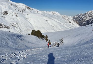
Schneeschuhwandern