


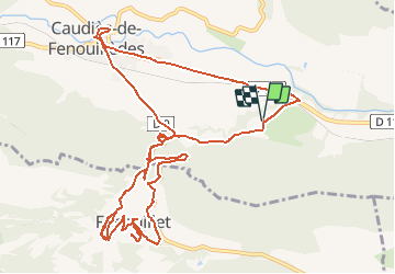

15,2 km | 21 km-effort

Benutzer


Kostenlosegpshiking-Anwendung
 SityTrail
IGN / Geografische Institute
SityTrail World
Die Welt öffnet sich für Sie
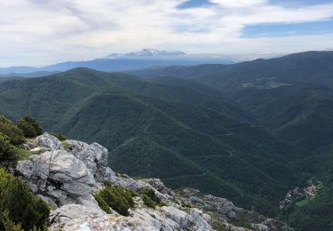
Tour Mountainbike von 15,3 km verfügbar auf Okzitanien, Ostpyrenäen, Caudiès-de-Fenouillèdes. Diese Tour wird von tracegps vorgeschlagen.
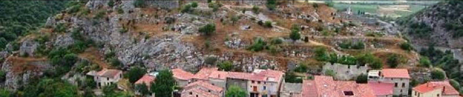
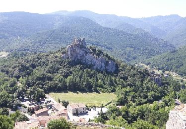
4 Aout 2004 Petit tour l’après midi à Fenouillet, et montée dans le clocher de ND de Laval. La suite est ICI


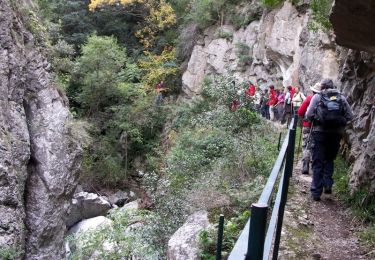
Wandern
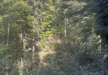
Wandern
Wandern
Wandern
Wandern
Wandern
Wandern
Wandern
Wandern