


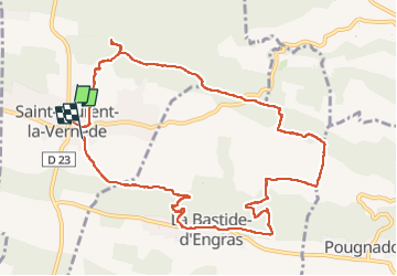

14,3 km | 17,2 km-effort


Benutzer


Kostenlosegpshiking-Anwendung
 SityTrail
IGN / Geografische Institute
SityTrail World
Die Welt öffnet sich für Sie
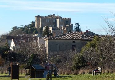
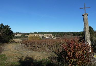
Tour Wandern von 11,8 km verfügbar auf Okzitanien, Gard, Saint-Laurent-la-Vernède. Diese Tour wird von fario vorgeschlagen.
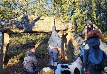
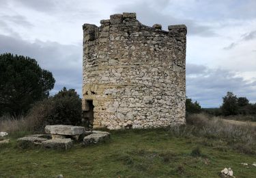
Rando très sympa autour de st laurent, en chemin Menhir (super) , le lavoir, la chapelle et le fort .


sport

Wandern
Wandern
Wandern
Andere Aktivitäten

Mountainbike
Wandern

Mountainbike
Wandern