

Fermanville and co...

tracegps
Benutzer

Länge
19,6 km

Maximale Höhe
135 m

Positive Höhendifferenz
283 m

Km-Effort
23 km

Min. Höhe
0 m

Negative Höhendifferenz
283 m
Boucle
Ja
Erstellungsdatum :
2014-12-10 00:00:00.0
Letzte Änderung :
2014-12-10 00:00:00.0
1h30
Schwierigkeit : Medium

Kostenlosegpshiking-Anwendung
Über SityTrail
Tour Mountainbike von 19,6 km verfügbar auf Normandie, Manche, Fermanville. Diese Tour wird von tracegps vorgeschlagen.
Beschreibung
Un circuit tiptop, on peut le faire l'hiver. La variété des paysages est incroyable. Seulement 20 km/h... rien à jeter. Attention, ce circuit emprunte le sentier des douaniers, évitez donc les jours de promenades. Amusez vous bien... (idéal en hardtrail à fond...)
Ort
Land:
France
Region :
Normandie
Abteilung/Provinz :
Manche
Kommune :
Fermanville
Standort:
Unknown
Gehen Sie:(Dec)
Gehen Sie:(UTM)
610176 ; 5504984 (30U) N.
Kommentare
Touren in der Umgebung
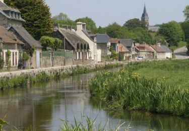
Fermanville - Le Vast


Mountainbike
Schwierig
(1)
Fermanville,
Normandie,
Manche,
France

32 km | 37 km-effort
2h 30min
Nein
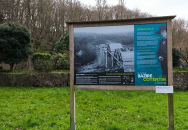
La Vallée des Moulins


Wandern
Medium
Fermanville,
Normandie,
Manche,
France

9,1 km | 11 km-effort
2h 30min
Ja
Bretteville Pointe de la Bricq


Wandern
Bretteville,
Normandie,
Manche,
France

7,3 km | 8,3 km-effort
2h 19min
Ja
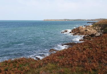
Fermanville / Maupertus


Wandern
Medium
Fermanville,
Normandie,
Manche,
France

21 km | 26 km-effort
3h 36min
Ja
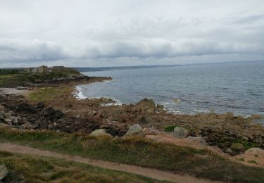
50 Autour du Cap LEVI 5km


Wandern
Sehr leicht
Fermanville,
Normandie,
Manche,
France

5,1 km | 5,6 km-effort
1h 22min
Ja

cap levi


Wandern
Einfach
(1)
Fermanville,
Normandie,
Manche,
France

4,4 km | 4,8 km-effort
1h 3min
Ja

fermanville 12042019


Wandern
Sehr leicht
(1)
Fermanville,
Normandie,
Manche,
France

9,3 km | 11,8 km-effort
2h 4min
Ja

boucle cap Lévy plage mondree


Wandern
Sehr leicht
(1)
Fermanville,
Normandie,
Manche,
France

7 km | 8 km-effort
1h 48min
Ja


 SityTrail


