


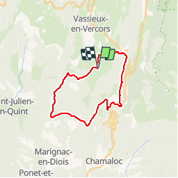


9,2 km | 14,2 km-effort


Benutzer


Kostenlosegpshiking-Anwendung
 SityTrail
IGN / Geografische Institute
SityTrail World
Die Welt öffnet sich für Sie
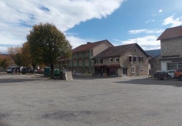
Tour Mountainbike von 23 km verfügbar auf Auvergne-Rhone-Alpen, Drôme, Vassieux-en-Vercors. Diese Tour wird von tracegps vorgeschlagen.
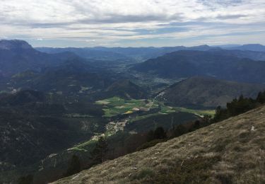
A faire par beau temps pour profiter de la vue magnifique! Très accessible.
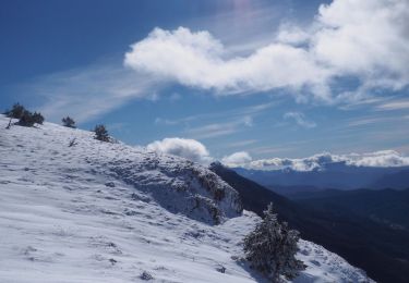
Schneeschuhwandern

Schneeschuhwandern
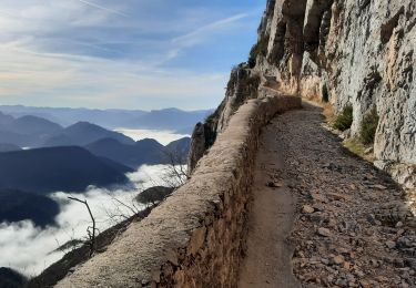
Wandern

Wandern
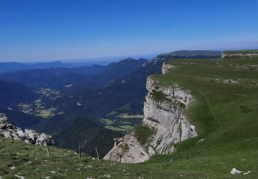
Wandern
Wandern
Wandern
Wandern

Schneeschuhwandern