


8,5 km | 10,6 km-effort

Benutzer


Kostenlosegpshiking-Anwendung
 SityTrail
IGN / Geografische Institute
SityTrail World
Die Welt öffnet sich für Sie
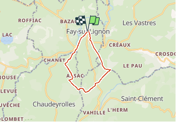
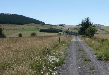
Tour Mountainbike von 9,5 km verfügbar auf Auvergne-Rhone-Alpen, Haute-Loire, Fay-sur-Lignon. Diese Tour wird von tracegps vorgeschlagen.
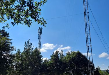
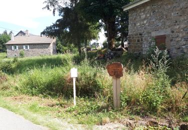
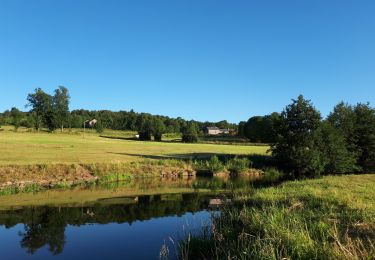
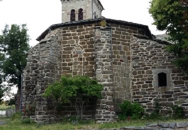
Site VTT FFC du Mézenc et de la Loire sauvage - Circuit n° 10 - Au son de la lauze et au souffle du vent. Circuit officiel labellisé par la Fédération Française de Cyclisme. Balade facile aux abords du Mont Signon, à travers la paisible campagne et ses charmants villages et hameaux. Au retour de ce paisible parcours, renouez avec le passé à travers les rues étroites et débordantes d’histoire de Fay-sur-Lignon.


Wandern

Fahrrad

Wandern
Wandern
Wandern
Wandern
Wandern
Wandern
Pferd