


12,2 km | 14,9 km-effort


Benutzer


Kostenlosegpshiking-Anwendung
 SityTrail
IGN / Geografische Institute
SityTrail World
Die Welt öffnet sich für Sie
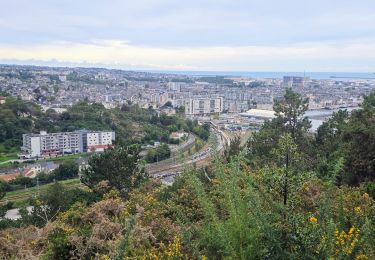
Tour Mountainbike von 70 km verfügbar auf Normandie, Manche, Cherbourg-en-Cotentin. Diese Tour wird von tracegps vorgeschlagen.
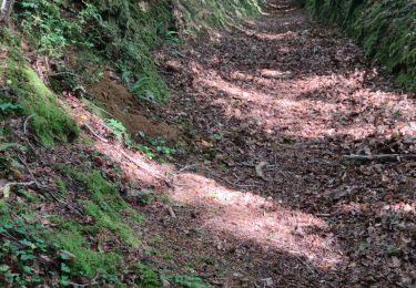
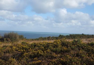
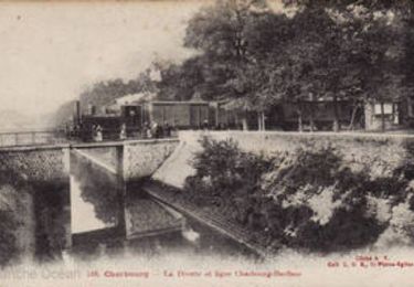
Voilà, l'idée est de proposer des circuits au départ de Cherbourg, pour éviter notamment de prendre sa voiture. On peut venir par le train et se faire une bonne rando dans ce petit coin de paradis. Amis Caenais vous êtes à 1h15 en train, alors zou le vélo dans le train et c'est partir pour l'évasion et laissez tranquille votre voiture !! Ce premier circuit fait 70 km, j'envisage quelques modifs pour le monter à 80 km. L’itinéraire est roulant et évite les chasses caillouteuses ou boueuses. J’ai privilégié aussi la beauté des paysages! Donc idéal en hardtrail, on peut le faire en 4 heures en bourrinant en peu. N'hésitez pas à laisser un commentaire.
Zu Fuß
Wandern
Rennrad
Wandern
Mountainbike
Mountainbike

Wandern
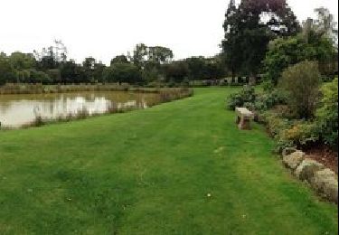
Wandern
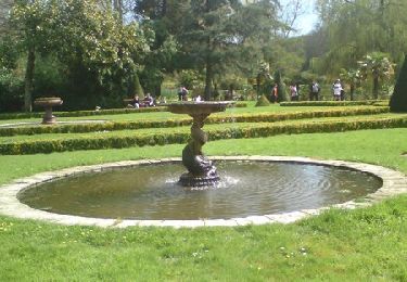
Wandern