


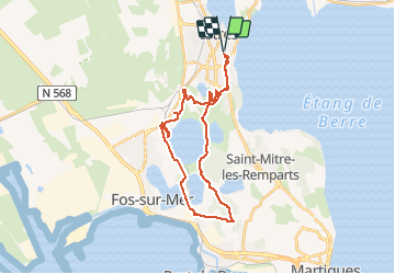

12,3 km | 14,7 km-effort


Benutzer


Kostenlosegpshiking-Anwendung
 SityTrail
IGN / Geografische Institute
SityTrail World
Die Welt öffnet sich für Sie
Tour Mountainbike von 29 km verfügbar auf Provence-Alpes-Côte d'Azur, Bouches-du-Rhône, Istres. Diese Tour wird von tracegps vorgeschlagen.
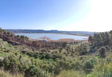
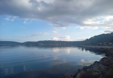
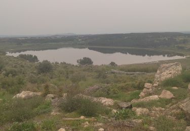
Petite rando autour du Lac Rose avec un point de vue sur Fos et Port de Bouc, et un passage par Saint Blaise où plusieurs parcours sont possibles.

Wandern
Zu Fuß

Zu Fuß
Zu Fuß
Zu Fuß

Wandern
Wandern
Wandern
Wandern