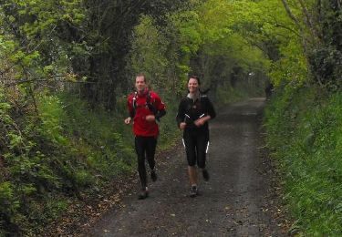
29 km | 35 km-effort
Ténèbres de Thor 2011
tracegps
Benutzer
Länge
33 km
Maximale Höhe
175 m
Positive Höhendifferenz
540 m
Km-Effort
41 km
Min. Höhe
41 m
Negative Höhendifferenz
541 m
Boucle
Ja
Erstellungsdatum :
2014-12-10 00:00:00.0
Letzte Änderung :
2014-12-10 00:00:00.0
2h30
Schwierigkeit : Medium
Kostenlosegpshiking-Anwendung
Über SityTrail
Tour Mountainbike von 33 km verfügbar auf Normandie, Manche, La Hague. Diese Tour wird von tracegps vorgeschlagen.
Beschreibung
35 km de VTT en nocturne. D'autres renseignements sur la Team Choumac Bike.
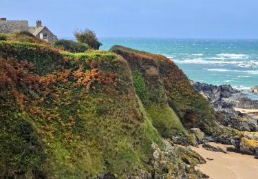
Ort
Land:
France
Region :
Normandie
Abteilung/Provinz :
Manche
Kommune :
La Hague
Standort:
Vasteville
Gehen Sie:(Dec)
Gehen Sie:(UTM)
588526 ; 5494352 (30U) N.
Kommentare
Touren in der Umgebung
Séjour Cotentin Etape 4 Biville - Les Pieux
Wandern
Schwierig
La Hague,
Normandie,
Manche,
France
6h 55min
Nein
ioupi biville 01
Wandern
Einfach
(1)
La Hague,
Normandie,
Manche,
France
9,5 km | 11,3 km-effort
2h 11min
Ja
Béquille - blockhaus-plage Dielette port et retour
Wandern
Einfach
Héauville,
Normandie,
Manche,
France
11,8 km | 13,5 km-effort
3h 10min
Nein
Run and Bike Haguard 2013 - Sainte Croix Hague
Laufen
Schwierig
La Hague,
Normandie,
Manche,
France
21 km | 27 km-effort
2h 30min
Ja
Run and Bike Haguard 2013 - Sainte Croix Hague
Mountainbike
Medium
La Hague,
Normandie,
Manche,
France
21 km | 27 km-effort
1h 30min
Ja
Le Chaudron de Thor 2013 - 60 km - Vasteville
Mountainbike
Schwierig
La Hague,
Normandie,
Manche,
France
57 km | 70 km-effort
3h 0min
Ja
Sentiers de la Hague 2013 - 35 km
Mountainbike
Medium
La Hague,
Normandie,
Manche,
France
32 km | 40 km-effort
2h 30min
Ja
Sentiers de la Hague 2013 - 45 km
Mountainbike
Schwierig
La Hague,
Normandie,
Manche,
France
46 km | 58 km-effort
3h 0min
Ja
Trail - Sentiers de la Hague 2013 - Flottemanville
Laufen
Medium
La Hague,
Normandie,
Manche,
France
13,5 km | 17 km-effort
1h 30min
Ja