


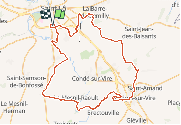

44 km | 52 km-effort


Benutzer


Kostenlosegpshiking-Anwendung
 SityTrail
IGN / Geografische Institute
SityTrail World
Die Welt öffnet sich für Sie
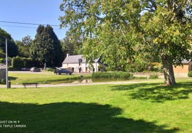
Tour Mountainbike von 45 km verfügbar auf Normandie, Manche, Saint-Lô. Diese Tour wird von tracegps vorgeschlagen.
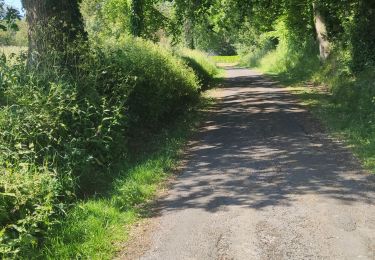
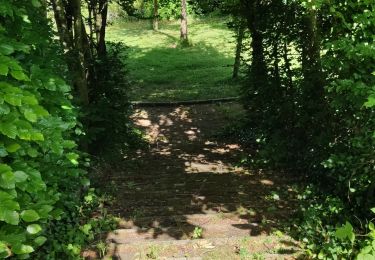
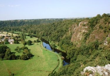
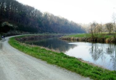
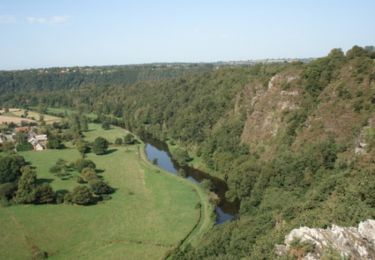
Circuit fait de chemins bocagers vallonnés. Pas de grosse difficulté hormis la montée dans les roches du Ham, quasi impossible les fesses sur la selle, mais cet effort est récompensé par le point de vue exceptionnel arrivé en haut !
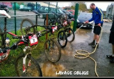
Mountainbike
Wandern
Wandern
Wandern
Wandern
Pferd
Mountainbike
Mountainbike