


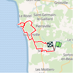

11,3 km | 13,1 km-effort

Benutzer


Kostenlosegpshiking-Anwendung
 SityTrail
IGN / Geografische Institute
SityTrail World
Die Welt öffnet sich für Sie
Tour Mountainbike von 27 km verfügbar auf Normandie, Manche, Sénoville. Diese Tour wird von tracegps vorgeschlagen.
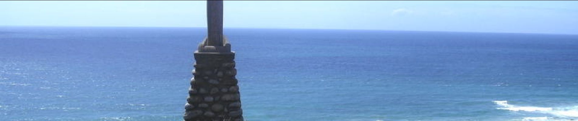
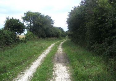
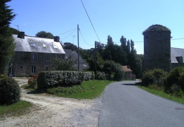
Bonjour à tous, Un circuit mixte, route et chemin, une belle montée pour accéder au cap Rozel et de bonnes descentes.(attention beaucoup de cailloux) les vues sont agréables surtout en haut du cap Rozel. Bonne rando.


Mountainbike
Mountainbike

Mountainbike

Wandern
Wandern
Wandern

Motorrad
Wandern

Mountainbike