


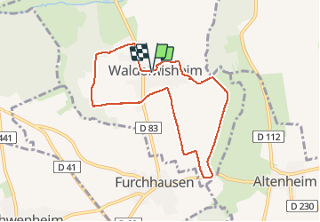

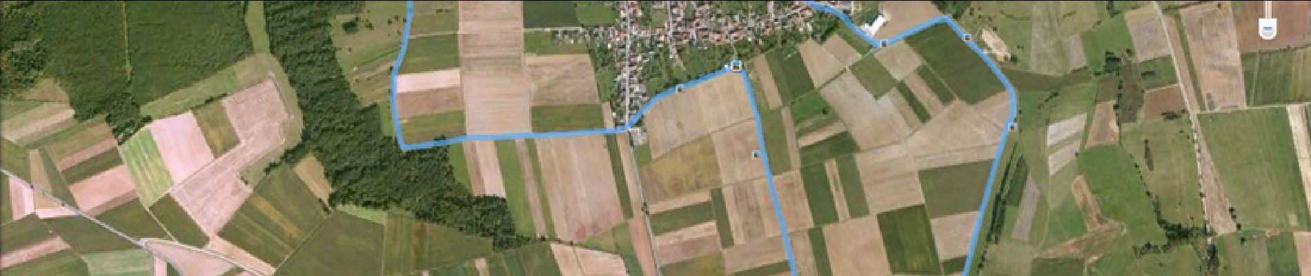
15,4 km | 19,9 km-effort

Benutzer


Kostenlosegpshiking-Anwendung
 SityTrail
IGN / Geografische Institute
SityTrail World
Die Welt öffnet sich für Sie
Tour Wandern von 7,5 km verfügbar auf Großer Osten, Unterelsass, Waldolwisheim. Diese Tour wird von tracegps vorgeschlagen.
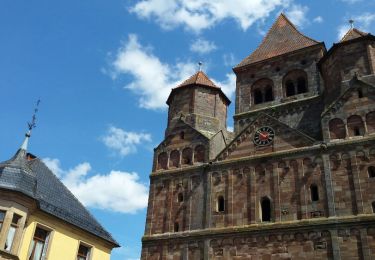
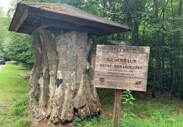
Depuis la place de la Mairie. Portique Place de la Mairie Waldolwisheim, (le plan du circuit est en libre service sous la carte) il suffit de suivre les anneaux rouges. Cette promenade circulaire vous fait découvrir des paysages magnifiques et le patrimoine local : le sentier des calvaires. Sur 7,5 km, on y découvre les croix chrétiennes sculptées dans le grès. Calvaire N° 1 à 2 (croix de chemin) – Lavoir – Calvaire N°3 (croix de chemin) – Calvaire N° 4 Bildstock ou croix à niche – Calvaire N°5 à 9 (croix de chemin) – Calvaire N°10 Croix des Missions A noter : la plus ancienne Croix de chemin de Waldolwisheim datant de 1655 est déposée au musée de Saverne. SOURCE.


Wandern
Wandern

Wandern
Wandern
Wandern

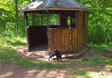
Pferd


sport
Rennrad

Wandern