


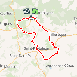

13,9 km | 16,4 km-effort

Benutzer


Kostenlosegpshiking-Anwendung
 SityTrail
IGN / Geografische Institute
SityTrail World
Die Welt öffnet sich für Sie
Tour Mountainbike von 29 km verfügbar auf Okzitanien, Lot, Sauzet. Diese Tour wird von tracegps vorgeschlagen.
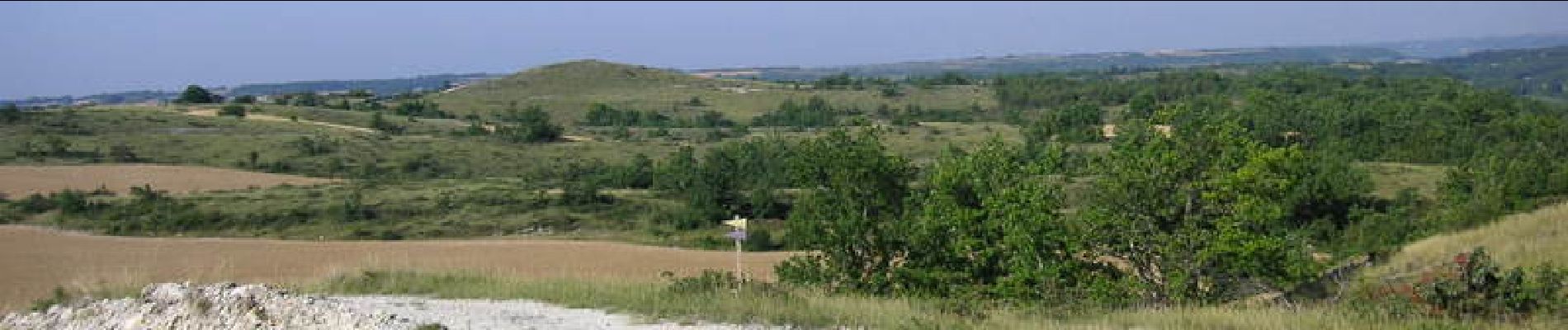
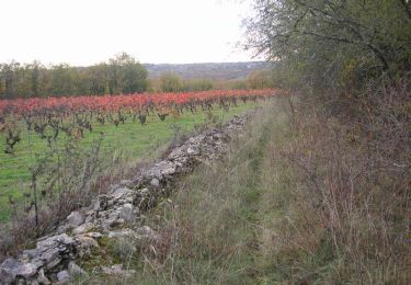
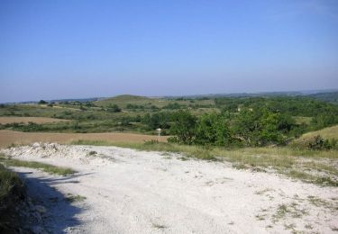
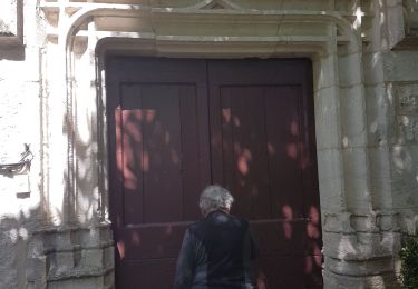
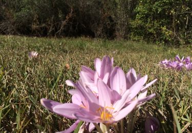
Départ parking de la mairie de Sauzet. Prendre la 4ème rue à gauche en direction d'Albas D37. Très belle randonnée qui est représentative des paysages du Quercy Blanc.


Wandern
Mountainbike

Wandern
Wandern

Wandern
Wandern
