


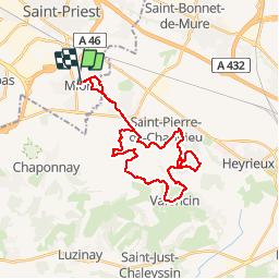

17,1 km | 23 km-effort


Benutzer


Kostenlosegpshiking-Anwendung
 SityTrail
IGN / Geografische Institute
SityTrail World
Die Welt öffnet sich für Sie
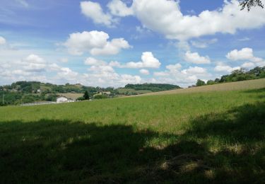
Tour Mountainbike von 30 km verfügbar auf Auvergne-Rhone-Alpen, Métropole de Lyon, Mions. Diese Tour wird von tracegps vorgeschlagen.
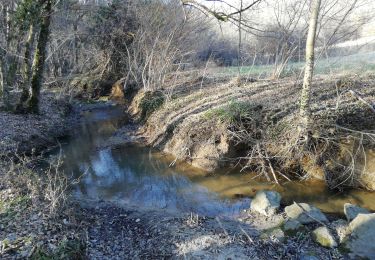
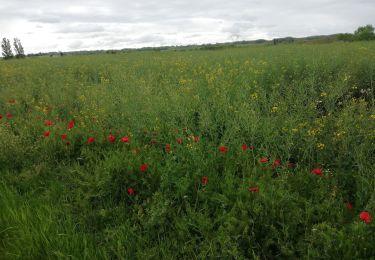
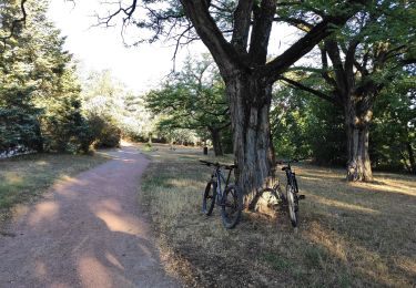
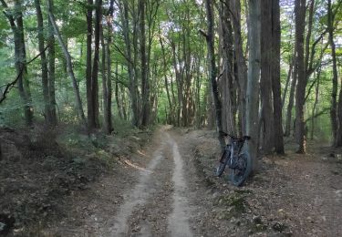
Parcours très ludique où je me suis efforcé de suivre les rives de l'Ozon, amenant ainsi un pilotage très plaisant et varié. Avec de beaux singles dans les bois environnants et de nouveaux chemins insoupçonnés dans se secteur des Mamelons de Saint Pierre de Chandieu. A faire dans le sens inverse des aiguilles d'une montre.
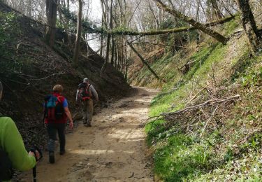
Wandern
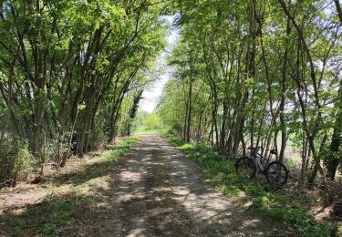
Mountainbike

Mountainbike
Wandern
Wandern
Hybrid-Bike
Mountainbike
Mountainbike
Wandern