


116 km | 130 km-effort

Benutzer


Kostenlosegpshiking-Anwendung
 SityTrail
IGN / Geografische Institute
SityTrail World
Die Welt öffnet sich für Sie
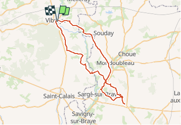
Tour Mountainbike von 57 km verfügbar auf Pays de la Loire, Sarthe, Vibraye. Diese Tour wird von tracegps vorgeschlagen.
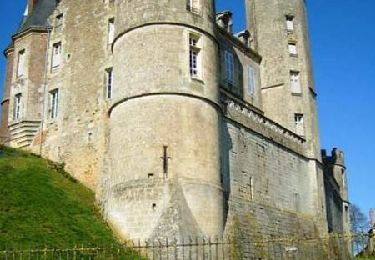
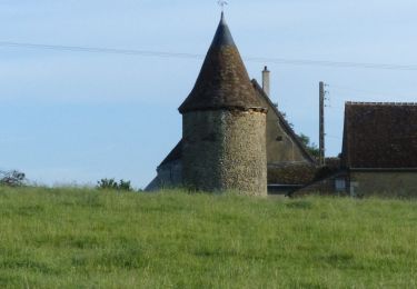
Il faut quand même une bonne condition, 2 passages dans des ruisseaux asséchés avec de grosses pierres. De Mondoubleau en direction de Vibraye , une bonne partie du GR Perche de Pays Perche Vendomois ( chemin pour véhicule agricole).

Fahrrad
Wandern
Wandern

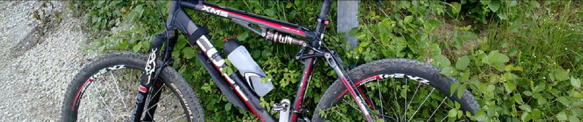
Mountainbike

Wandern
Wandern
Wandern
Wandern