


15,9 km | 20 km-effort


Benutzer


Kostenlosegpshiking-Anwendung
 SityTrail
IGN / Geografische Institute
SityTrail World
Die Welt öffnet sich für Sie
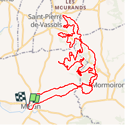
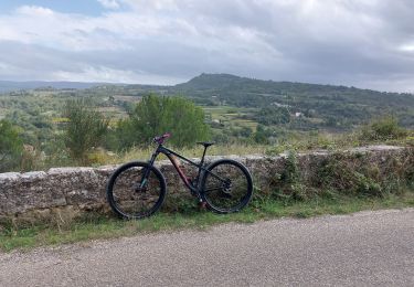
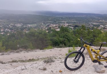
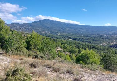
Tour Mountainbike von 33 km verfügbar auf Provence-Alpes-Côte d'Azur, Vaucluse, Mazan. Diese Tour wird von tracegps vorgeschlagen.
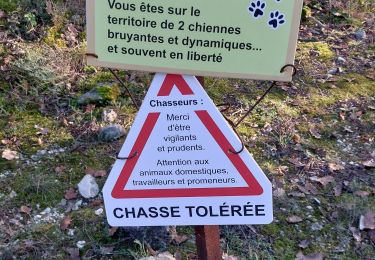
Parcours dans la colline du Limon entre Mormoiron et St-Pierre de Vassols. Vous trouverez dans ce parcours tout ce que l'on aime en vtt, des chemins, des singles sympas en sous bois et d'autres plus techniques, un régal. Terrain très collant en cas de pluie, à éviter.

Wandern

Wandern
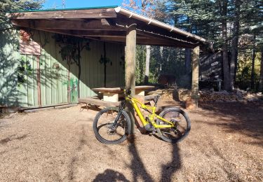
Mountainbike
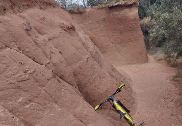
Mountainbike
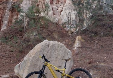
Mountainbike
Wandern
Mountainbike
Mountainbike
Mountainbike