


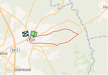


8,3 km | 10,8 km-effort
Randonnées de la Grande Forêt de Saint-Hubert GUIDE+


Kostenlosegpshiking-Anwendung
 SityTrail
IGN / Geografische Institute
SityTrail World
Die Welt öffnet sich für Sie
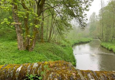
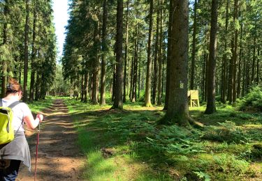
Tour Wandern von 8,8 km verfügbar auf Wallonien, Luxemburg, Libin. Diese Tour wird von La Grande Forêt de Saint-Hubert vorgeschlagen.
Balise : Bleu 4


Wandern

Mountainbike
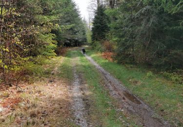
Wandern
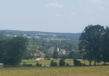
Wandern

Wandern
Wandern
Wandern
Wandern
Wandern