


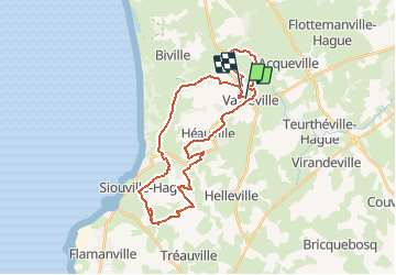

29 km | 35 km-effort


Benutzer


Kostenlosegpshiking-Anwendung
 SityTrail
IGN / Geografische Institute
SityTrail World
Die Welt öffnet sich für Sie
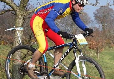
Tour Mountainbike von 32 km verfügbar auf Normandie, Manche, La Hague. Diese Tour wird von tracegps vorgeschlagen.
Circuit composé de chemins carrossés, de singles, de passages entre les arbres de petits sentiers entre les haies et de chemins caillouteux. Très varié, idéal pour découvrir le secteur autrement que par la route.

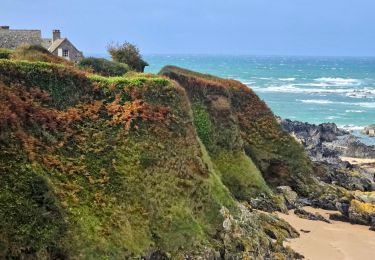
Wandern

Wandern
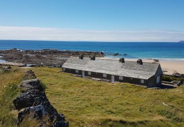
Wandern

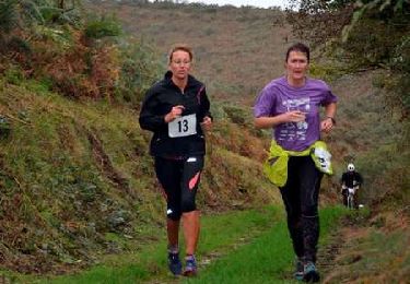
Laufen
Mountainbike
Mountainbike
Mountainbike

Mountainbike
Laufen