


8,5 km | 10,5 km-effort


Benutzer


Kostenlosegpshiking-Anwendung
 SityTrail
IGN / Geografische Institute
SityTrail World
Die Welt öffnet sich für Sie
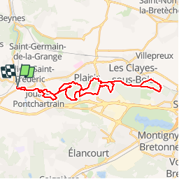
Tour Mountainbike von 31 km verfügbar auf Île-de-France, Yvelines, Villiers-Saint-Frédéric. Diese Tour wird von tracegps vorgeschlagen.
Un circuit roulant et praticable en cas de conditions boueuses. Le circuit emprunte des chemins larges à travers les forêts de Saint Apolline et de Bois d’Arcy.

Wandern

Wandern

Wandern

Wandern
Wandern
Wandern
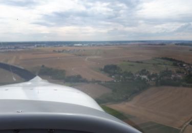
Flugzeug
Wandern
Wandern