


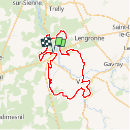

12,6 km | 15,8 km-effort


Benutzer


Kostenlosegpshiking-Anwendung
 SityTrail
IGN / Geografische Institute
SityTrail World
Die Welt öffnet sich für Sie
Tour Mountainbike von 33 km verfügbar auf Normandie, Manche, Cérences. Diese Tour wird von tracegps vorgeschlagen.
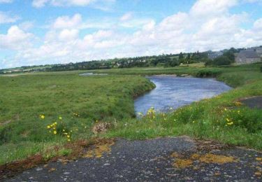
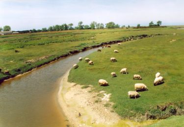
Circuit balisé, nécessitant un bon état physique. Très sympa, à faire de préférence par temps sec pour éviter d'avoir à traverser quelques piscines...
Wandern
Mountainbike
Wandern
Wandern
Wandern
Wandern

Wandern
Wandern

Wandern