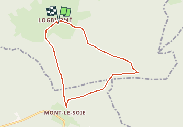

22 km | 29 km-effort

Benutzer


Kostenlosegpshiking-Anwendung
 SityTrail
IGN / Geografische Institute
SityTrail World
Die Welt öffnet sich für Sie
Tour Wandern von 6,8 km verfügbar auf Wallonien, Lüttich, Dreibrücken. Diese Tour wird von lauraite vorgeschlagen.
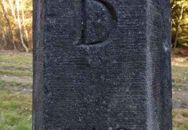
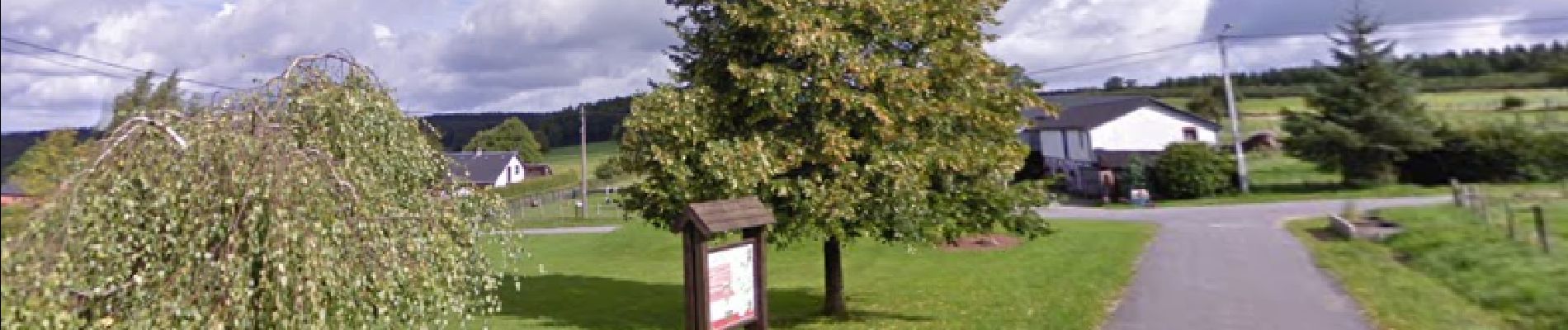
Départ au sommet du village, près d'un panneau info.
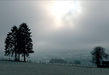
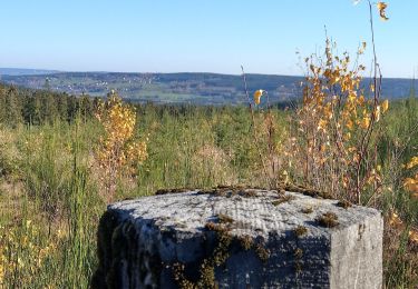
Promenade en forêt, dénivelé peu important.
Réalisable en poussette (juste un ou deux passage difficile pour un total de - 100 m).


Wandern

Wandern

Wandern

Wandern
Wandern
Zu Fuß
Zu Fuß
Zu Fuß