


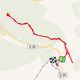

15,4 km | 29 km-effort

Benutzer


Kostenlosegpshiking-Anwendung
 SityTrail
IGN / Geografische Institute
SityTrail World
Die Welt öffnet sich für Sie
Tour Wandern von 6,2 km verfügbar auf Provence-Alpes-Côte d'Azur, Alpes-de-Haute-Provence, Digne-les-Bains. Diese Tour wird von jlouisvideo vorgeschlagen.
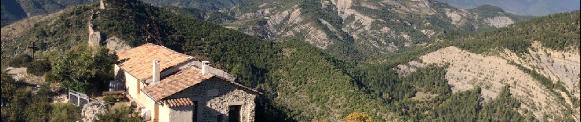
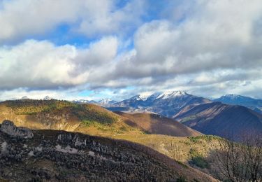
Petite Randonnée à Digne les Bains. Super panorama à 360*. Temps de marche 2h00 aller retour


Wandern

Wandern

Wandern

Wandern
Wandern

Wandern

Wandern

Mountainbike
Wandern