


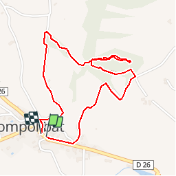


8,7 km | 13 km-effort


Benutzer


Kostenlosegpshiking-Anwendung
 SityTrail
IGN / Geografische Institute
SityTrail World
Die Welt öffnet sich für Sie
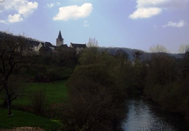
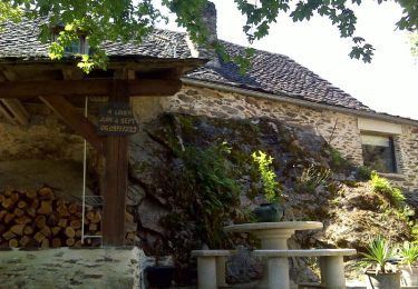
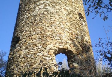
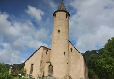
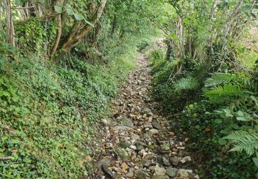
Tour Wandern von 2,5 km verfügbar auf Okzitanien, Aveyron, Compolibat. Diese Tour wird von YV24 vorgeschlagen.
Visite sympa d'une curiosité géologique locale. Prudence sur la partie basse du parcours, par temps pluvieux ou de pluie récente.
Zu Fuß
Zu Fuß
Zu Fuß
Zu Fuß
Wandern
Wandern
Elektrofahrrad
Elektrofahrrad

Wandern