


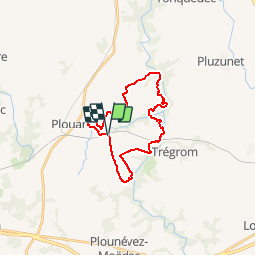

24 km | 31 km-effort


Benutzer


Kostenlosegpshiking-Anwendung
 SityTrail
IGN / Geografische Institute
SityTrail World
Die Welt öffnet sich für Sie
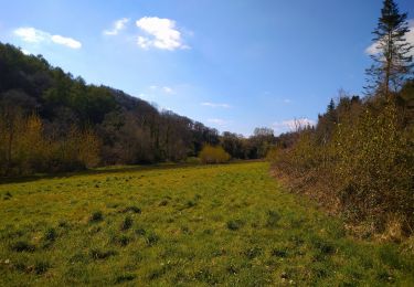
Tour Wandern von 21 km verfügbar auf Bretagne, Côtes-d'Armor, Le Vieux-Marché. Diese Tour wird von tracegps vorgeschlagen.
Circuit proposé par l’association Henchou Don Lanvaeleg. Départ de la place de l’église à Vieux-Marché. Ce circuit a été tracé pour l'édition 2003 de An Dro hag an Distro.
 - Photo 1")
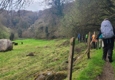
Zu Fuß
Wandern
Wandern

Wandern

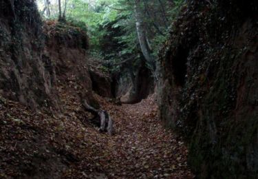
Wandern

Zu Fuß

Wandern
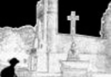
Wandern

Wandern