


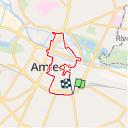

12,2 km | 13,8 km-effort

Benutzer


Kostenlosegpshiking-Anwendung
 SityTrail
IGN / Geografische Institute
SityTrail World
Die Welt öffnet sich für Sie
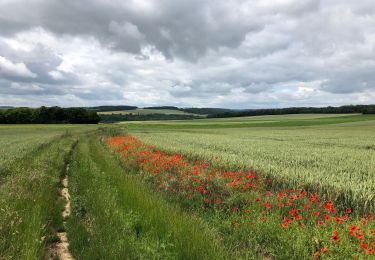
Tour Wandern von 5,7 km verfügbar auf Nordfrankreich, Somme, Amiens. Diese Tour wird von tracegps vorgeschlagen.
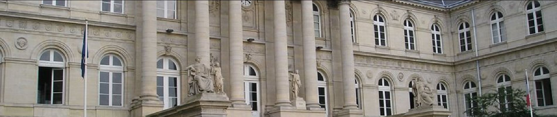
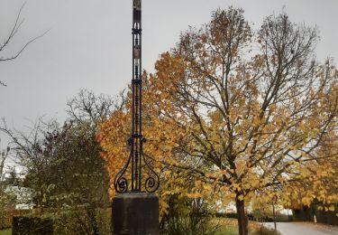
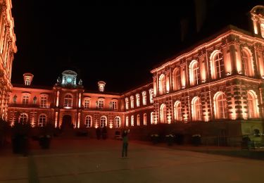
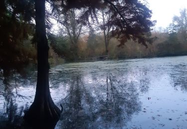
Circuit proposé par la Mairie de Camon. Départ du parking de la Place Joffre à Amiens. A découvrir : La ville d’Amiens Retrouvez cette randonnée sur le site de la mairie, rubrique « Tourisme et loisirs ».


Wandern
Mountainbike

Wandern
Wandern
Wandern
Wandern
Wandern
Wandern
Elektrofahrrad