


6,4 km | 9,7 km-effort

Benutzer


Kostenlosegpshiking-Anwendung
 SityTrail
IGN / Geografische Institute
SityTrail World
Die Welt öffnet sich für Sie
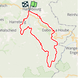
Tour Mountainbike von 32 km verfügbar auf Großer Osten, Mosel, Haselburg. Diese Tour wird von tracegps vorgeschlagen.
Le départ se fait au niveau de la fontaine en bas du village. On commence avec une longue montée et régulière avec deux coups de cul vous mèneront jusqu'au camping de Dabo. Ensuite un single vous mène jusqu'au col de la Schleif mêlant passage avec des racines (attention ça glisse par temps humide) passage de marches, sables, terre et gravier. A la Schleif, il y a un abri et des tables de pique-nique. Ensuite direction la Maison Forestière du Spitzberg via un single ludique et très agréable. On continue par une descente jusqu'à la Kleinmuhl et la Altmuhl. Le début de la descente est très rapide puis on arrive sur un chemin où ça tape bien et avec quelques passages techniques. Traverser la route et on regrimpe avec un coup de coup qui chauffe bien les jambes pour monter jusqu'à la Croix du Hengstbourg. Enfin un peu de plat, pour passer à proximité d'Harreberg. Après une petite descente rapide on rejoint une petite route puis on quitte cette route pour un nouveau raidare pour retrouver une descente technique pour rejoindre le stade de football de Schaeferhof. Prendre la route pour rejoindre le point de départ.


Wandern

Mountainbike
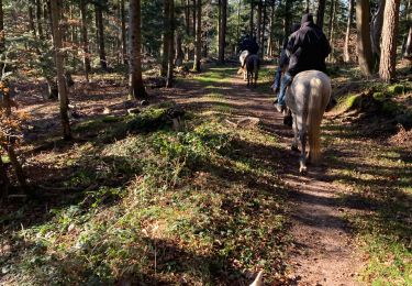
Reiten
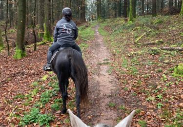
Reiten

Reiten
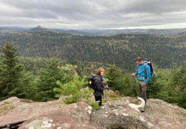
Wandern
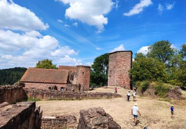
Wandern
Wandern
Wandern