


14,1 km | 16 km-effort


Benutzer


Kostenlosegpshiking-Anwendung
 SityTrail
IGN / Geografische Institute
SityTrail World
Die Welt öffnet sich für Sie
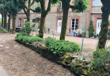
Tour Wandern von 18,2 km verfügbar auf Burgund und Freigrafschaft, Nièvre, Montsauche-les-Settons. Diese Tour wird von tracegps vorgeschlagen.
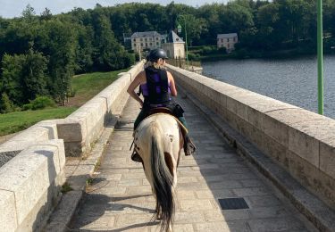
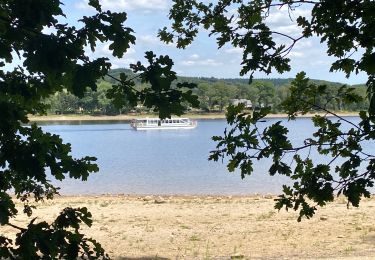
Le lac des Settons s'étend sur une superficie de 367 ha. Il contient 23 millions de m3 d'eau. Son périmètre dépasse 13 km. Le barrage du Lac des Settons se situe au sud de Montsauche. Haut de 20m il est entièrement construit en bloc de granit du Morvan. La construction fut réalisée entre 1854 et 1861 dans le double but de faciliter le flottage du bois sur paris et d'assurer la navigation de l'Yonne en régulant son débit. (source OT)

Wandern
Reiten
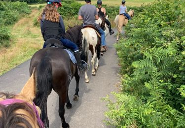
Reiten
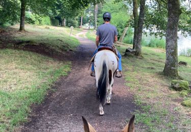
Reiten
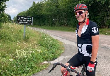
Rennrad
Reiten
Reiten
Wandern
Mountainbike