


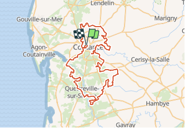

62 km | 73 km-effort


Benutzer


Kostenlosegpshiking-Anwendung
 SityTrail
IGN / Geografische Institute
SityTrail World
Die Welt öffnet sich für Sie
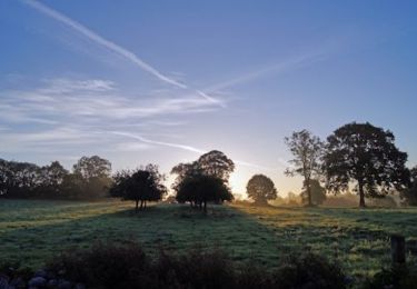
Tour Mountainbike von 83 km verfügbar auf Normandie, Manche, Coutances. Diese Tour wird von tracegps vorgeschlagen.
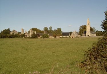
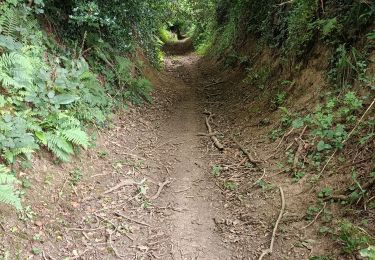
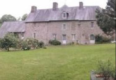
Le parcours de cette année comporte des tronçons identiques que l'année dernière, normal en plus certain étaient géniaux. Adépart pas mal de singles ou plutôt les chemins en terre entre les champs couverts par les haies, réellement superbes, on ne les trouve pas comme ça dans la région parisienne. Après environ 40km, il en avait de moins en moins et de plus en plus de route à faire, des petites, mais des routes quand même. Bon, je pense que ce n'est pas évident de faire des singles pendant 85km donc ce n'est pas une véritable critique. Enfin un parcours bien agréable, pas exclusivement technique donc ouvert à tous. Lien vers le Site du Club. Lien vers mon blog.

Mountainbike

Nordic Walking
Mountainbike

Wandern
Mountainbike
Mountainbike

Wandern
Elektrofahrrad