


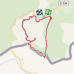

10,6 km | 19,3 km-effort

Benutzer


Kostenlosegpshiking-Anwendung
 SityTrail
IGN / Geografische Institute
SityTrail World
Die Welt öffnet sich für Sie
Tour Wandern von 8,2 km verfügbar auf Neu-Aquitanien, Pyrenäen-Atlantik, Laruns. Diese Tour wird von tracegps vorgeschlagen.
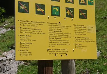
Cette petite boucle de dénivelé modeste (730m) utilise d'abord un sentier bien tracé partant du Pont de Peyrelue (1570m)jusqu'au Port de Peyrelue (1849m) où les moins courageux pourront s'arrêter. Ensuite nous empruntons la pente herbeuse direction nord-ouest pour arriver jusqu'au Pic d'Estrémère (ou du Pourtalet) à 2165m. Nous redescendons par le Couloir de l'Araille et la cabane de Tourmont pour revenir au point de départ. La vue est superbe de bout en bout.
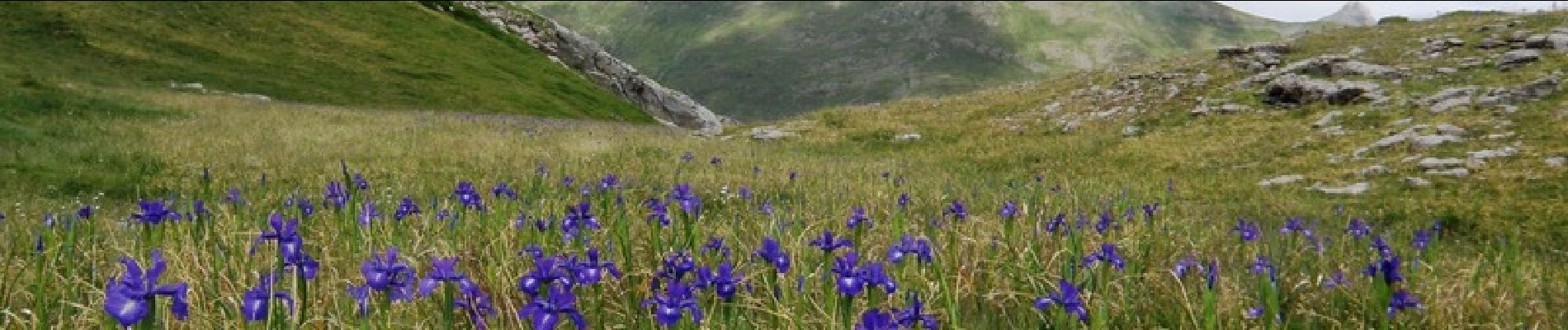
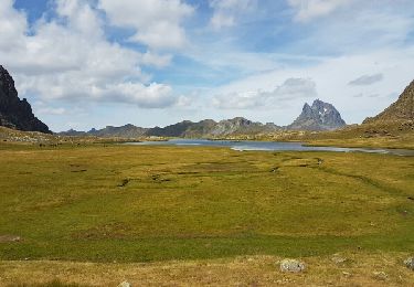
 par le port de Peyrelue - Photo 1")
 par le port de Peyrelue - Photo 2")
 par le port de Peyrelue - Photo 3")
 par le port de Peyrelue - Photo 4")
 par le port de Peyrelue - Photo 5")
 par le port de Peyrelue - Photo 6")

Wandern

Wandern

Wandern

Zu Fuß
Wandern

Wandern

Wandern
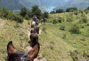
Reiten
Wandern