


10,6 km | 21 km-effort

Benutzer


Kostenlosegpshiking-Anwendung
 SityTrail
IGN / Geografische Institute
SityTrail World
Die Welt öffnet sich für Sie
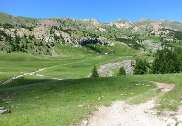
Tour Mountainbike von 11,9 km verfügbar auf Provence-Alpes-Côte d'Azur, Hochalpen, Crots. Diese Tour wird von tracegps vorgeschlagen.
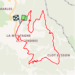
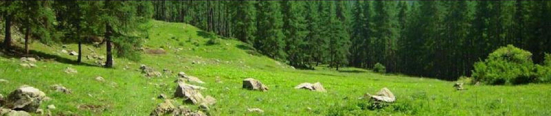
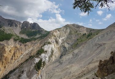
Espace VTT FFC de l'Embrunais Savinois - Circuit n° 9 - Boucle de Clot Besson Circuit labellisé par la Fédération Française de Cyclisme. Départ : Crots, hameau de la Montagne, parking du gîte de la Draye. C’est un itinéraire avec une montée sportive et une descente technique, idéal pour les habitués du VTT. Le chemin de montée traverse un joli mélézin, ainsi que des prairies offrant une vue dégagée sur les cirques montagneux alentours. A la descente, un petit détour permet une visite au lac du Lauzerot. Des aires de pique-nique ont été aménagée le long du parcours et représentent d’agréables lieux de pause.


Wandern

Wandern

Wandern

Wandern
Wandern
Wandern
Wandern

Wandern
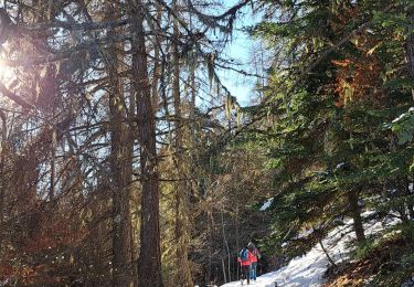
Schneeschuhwandern
Je ne sais pas qui a fait la trace GPS mais lorsque vous arrivé en fin de monté, ne la suivait plus, elle vous emmené dans les bois sans chemin … à retracer car j’ai du faire demi tour. Impossible de suivre la trace