29 km | 31 km-effort
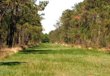
Lande de Millières lac des bruyères
Climatis50
Benutzer
Länge
7,3 km
Maximale Höhe
32 m
Positive Höhendifferenz
61 m
Km-Effort
8,1 km
Min. Höhe
6 m
Negative Höhendifferenz
61 m
Boucle
Ja
Erstellungsdatum :
2019-01-15 17:27:09.975
Letzte Änderung :
2019-01-15 17:27:09.975
1h48
Schwierigkeit : Einfach
Kostenlosegpshiking-Anwendung
Über SityTrail
Tour Wandern von 7,3 km verfügbar auf Normandie, Manche, Millières. Diese Tour wird von Climatis50 vorgeschlagen.
Ort
Land:
France
Region :
Normandie
Abteilung/Provinz :
Manche
Kommune :
Millières
Standort:
Unknown
Gehen Sie:(Dec)
Gehen Sie:(UTM)
611734 ; 5451134 (30U) N.
Kommentare
Touren in der Umgebung
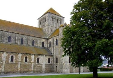
De l'Abbaye au bois du Pissot - Lessay
Wandern
Medium
(1)
Lessay,
Normandie,
Manche,
France
14,5 km | 16,3 km-effort
3h 30min
Ja
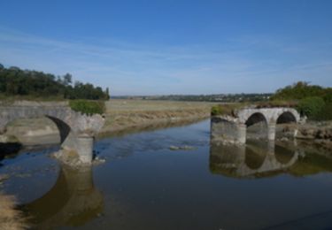
Les chemins de Saint Michel - Lessay - Granville
Wandern
Medium
Lessay,
Normandie,
Manche,
France
78 km | 88 km-effort
Unbekannt
Nein
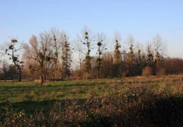
Randonnée autour de Périers
Mountainbike
Einfach
(1)
Périers,
Normandie,
Manche,
France
32 km | 35 km-effort
2h 0min
Ja
SityTrail - MIN 2020 J3 Adventure & Tourer
Motorrad
Sehr leicht
Pirou,
Normandie,
Manche,
France
211 km | 251 km-effort
Unbekannt
Nein
St Martin d'Aubigny - Marchesieux
Andere Aktivitäten
Einfach
Périers,
Normandie,
Manche,
France
30 km | 32 km-effort
1h 52min
Ja
St Martin d'Aubigny - Marchesieux
Andere Aktivitäten
Einfach
Périers,
Normandie,
Manche,
France
30 km | 32 km-effort
1h 52min
Ja
Manche 3
Mountainbike
Sehr leicht
Périers,
Normandie,
Manche,
France
48 km | 55 km-effort
11h 52min
Nein