


7 km | 9,5 km-effort

Benutzer


Kostenlosegpshiking-Anwendung
 SityTrail
IGN / Geografische Institute
SityTrail World
Die Welt öffnet sich für Sie
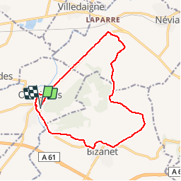
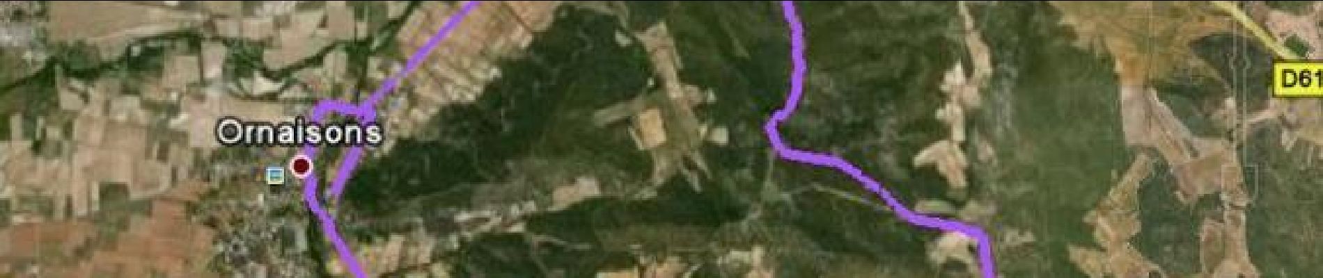
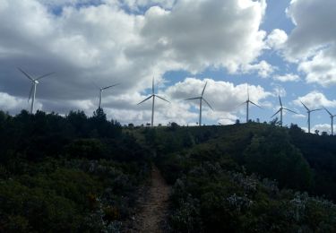
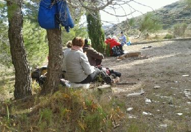
Tour Mountainbike von 16,9 km verfügbar auf Okzitanien, Aude, Ornaisons. Diese Tour wird von tracegps vorgeschlagen.
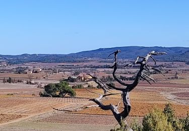
Départ par la route de Narbonne jusqu'au pied des éoliennes, grande monté jusqu'aux éoliennes très raide (1km), puis montée et descente sur les 21 éoliennes du parcours (1.5km). chemin en descente légère jusqu'à Bizanet(6.5 km), retour par la route avec passage par le centre d'Ornaisons. Circuit ensoleillé, caillouteux entre éolienne et Bizanet, aucun risque de crevaisons parcours propre.

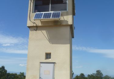
Wandern
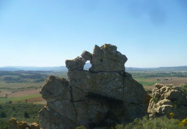
Wandern
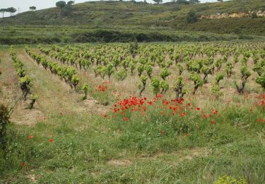
Wandern
Wandern
Wandern
Wandern
Wandern

Zu Fuß