


12,2 km | 14,9 km-effort


Benutzer


Kostenlosegpshiking-Anwendung
 SityTrail
IGN / Geografische Institute
SityTrail World
Die Welt öffnet sich für Sie
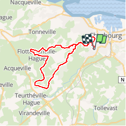
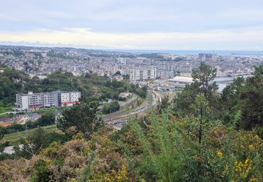
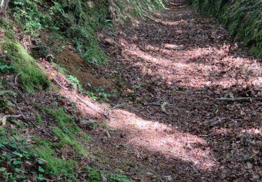
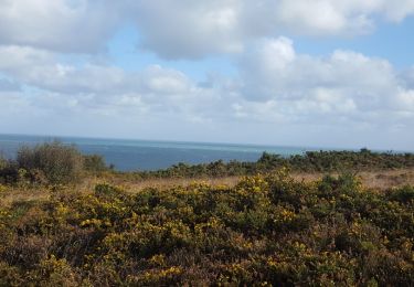
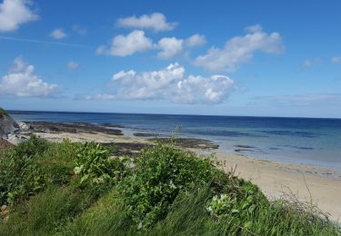
Tour Mountainbike von 28 km verfügbar auf Normandie, Manche, Cherbourg-en-Cotentin. Diese Tour wird von tracegps vorgeschlagen.
Circuit proposé par Isabelle du club Les Haguards de Gréville-Hague. Club qui vous donne rendez-vous tous les dimanches autours de Cherbourg si, comme nous, vous appréciez les randos dans une ambiance conviviale. Les Haguards ne sont pas sectaires et apprécient aussi d'autres activités sportives tel que les raids multisports, trails, triathlons etc..... et n'hésitent pas à se déplacer tous ensembles sur des évènements incontournables comme la GAMELLE TROPHY, LA JEAN RACINE, LES SENTIERS DE LA HAGUE etc.... Pour plus d'info :Les Haguards facebook : vtt les haguards
Zu Fuß
Wandern
Wandern
Wandern
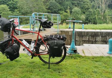
Mountainbike
Wandern

Wandern
Radtourismus
Mountainbike