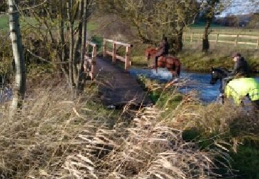
21 km | 24 km-effort
Rando les Chemins Conchois 2010
tracegps
Benutzer
Länge
43 km
Maximale Höhe
166 m
Positive Höhendifferenz
777 m
Km-Effort
53 km
Min. Höhe
86 m
Negative Höhendifferenz
777 m
Boucle
Ja
Erstellungsdatum :
2014-12-10 00:00:00.0
Letzte Änderung :
2014-12-10 00:00:00.0
4h00
Schwierigkeit : Schwierig
Kostenlosegpshiking-Anwendung
Über SityTrail
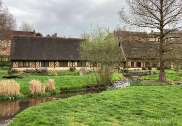
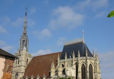
Tour Mountainbike von 43 km verfügbar auf Normandie, Eure, Conches-en-Ouche. Diese Tour wird von tracegps vorgeschlagen.
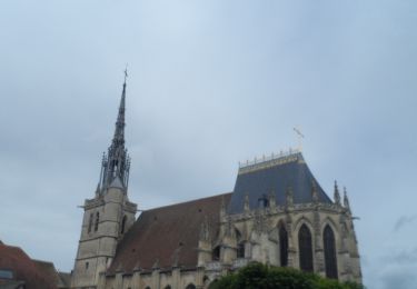
Ort
Land:
France
Region :
Normandie
Abteilung/Provinz :
Eure
Kommune :
Conches-en-Ouche
Standort:
Unknown
Gehen Sie:(Dec)
Gehen Sie:(UTM)
349271 ; 5424331 (31U) N.
Kommentare
Touren in der Umgebung
2020_02_21_Circuit de Nagel
Wandern
Einfach
(1)
Nagel-Séez-Mesnil,
Normandie,
Eure,
France
11 km | 12,4 km-effort
2h 20min
Ja
conches
Wandern
Sehr leicht
(1)
Conches-en-Ouche,
Normandie,
Eure,
France
13,9 km | 16,6 km-effort
Unbekannt
Ja
La vallée de rouloir
Wandern
Einfach
Conches-en-Ouche,
Normandie,
Eure,
France
11,6 km | 13,8 km-effort
3h 23min
Ja
Conches en Ouche
Zu Fuß
Einfach
Conches-en-Ouche,
Normandie,
Eure,
France
21 km | 25 km-effort
Unbekannt
Ja
conches-ferrière sur risles
Mountainbike
Einfach
Conches-en-Ouche,
Normandie,
Eure,
France
47 km | 53 km-effort
3h 26min
Ja
conches-ferrière sur risles
Mountainbike
Einfach
Conches-en-Ouche,
Normandie,
Eure,
France
47 km | 53 km-effort
3h 26min
Ja
Conches en Ouche, Chanteloup, Collandres,vieux Conches 24 kms
Wandern
Sehr schwierig
Conches-en-Ouche,
Normandie,
Eure,
France
24 km | 27 km-effort
6h 7min
Ja
apparemment un seul peut être ouvert à la fois, plusieurs seraient intéressant?
Circuit difficile a suivre sans, en permanence avoir la tête sur le téléphone . Les chemins sont souvent barré par des arbres tombes ou des branches au sol volontairement misent en travers. Pas de grosse difficulté si ce n est les gros silex au sol qui cisaillent les pneus . Très fréquent dans le bas de du circuit ou dans les descentes