


11,5 km | 15 km-effort

Benutzer


Kostenlosegpshiking-Anwendung
 SityTrail
IGN / Geografische Institute
SityTrail World
Die Welt öffnet sich für Sie
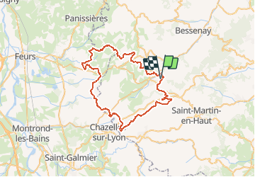
Tour Mountainbike von 61 km verfügbar auf Auvergne-Rhone-Alpen, Rhône, Saint-Genis-l'Argentière. Diese Tour wird von tracegps vorgeschlagen.
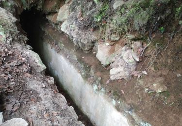
Départ : Saint-Genis-L'Argentière (69610) L'Amicale Sportive de St Genis L'Argentière (ASSG-Section VTT) organise chaque année une randonnée VTT : "La 13ème Virée des Grands Ducs" a eu lieu le dimanche 23 Mai 2010. Les parcours empruntent chemins et sentiers des Monts du Lyonnais, entre Loire et Rhône, et traversent de somptueux villages. Le plus grand parcours d'un peu plus de 61 km est réservé aux VTTistes confirmés, cependant il ne présente aucune difficulté majeure ! De belles montées et de belles descentes s'enchaînent (sans trop de caillasses) et en récompense de très beaux singles tracks !!! Par monts et par vaux, le circuit se digère assez bien. Sur les crêtes, vous serez séduit par les villages perchés sur presque tous les points hauts. N'hésitez pas à faire des pauses pour admirer le panorama qui s'offre à 360° où la couleur dominante est le "vert" couleur préférée du VTTiste of course ! Une belle descente en sous-bois vous secouera un peu avant de rallier l'arrivée. Très beau parcours sportif où l'on en prend tout le temps plein les yeux... du vrai VTT !
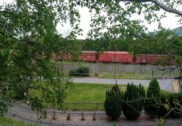
 - Photo 1")
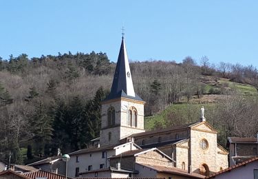
 - Photo 2")
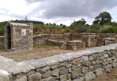
 - Photo 3")
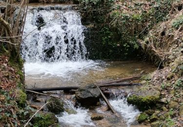
 - Photo 4")
 - Photo 5")
 - Photo 6")
Zu Fuß
Wandern
Wandern
Wandern

Wandern
Wandern
Wandern
Wandern
Wandern