


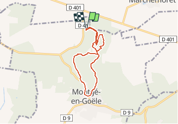

7,9 km | 8,9 km-effort
Randonner avec bonne humeur et convivialité. (Inscription réservée uniquement aux animateurs de GOËLE RANDO)


Kostenlosegpshiking-Anwendung
 SityTrail
IGN / Geografische Institute
SityTrail World
Die Welt öffnet sich für Sie
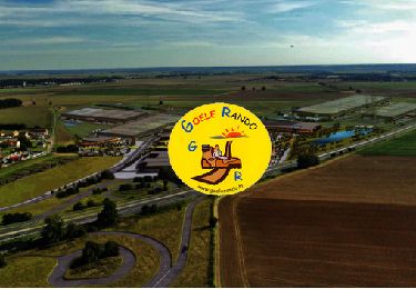
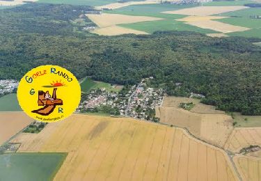
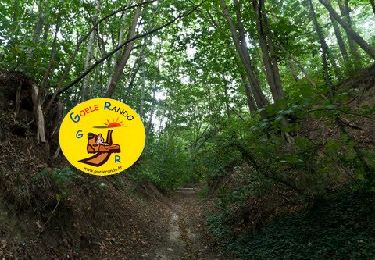
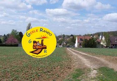
Tour Wandern von 5,3 km verfügbar auf Île-de-France, Seine-et-Marne, Montgé-en-Goële. Diese Tour wird von GOELE RANDO vorgeschlagen.
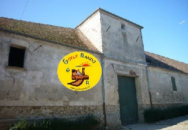
https://www.goelerando.fr/
DAMMARTIN en GOËLE 77

Wandern
Zu Fuß
Wandern
Wandern
Wandern
Wandern

Wandern

Wandern
Wandern
Super
très bien