


9,6 km | 15,6 km-effort

Benutzer


Kostenlosegpshiking-Anwendung
 SityTrail
IGN / Geografische Institute
SityTrail World
Die Welt öffnet sich für Sie
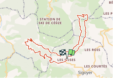
Tour Mountainbike von 23 km verfügbar auf Provence-Alpes-Côte d'Azur, Hochalpen, Sigoyer. Diese Tour wird von tracegps vorgeschlagen.
Superbe parcours au pied des falaises de Ceüze dans le Gapençais. Itinéraire permettant de découvrir de magnifiques paysages (vallée de Tallard - Gapençais)


Wandern

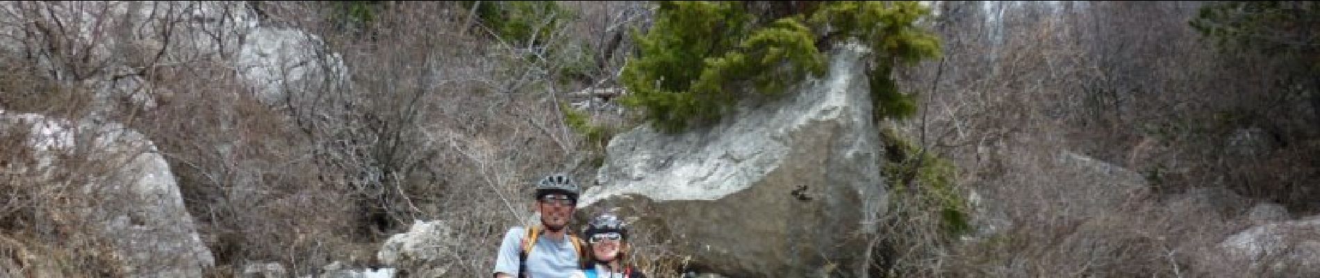
Mountainbike

Mountainbike

Pfad

Wandern

Wandern

Wandern
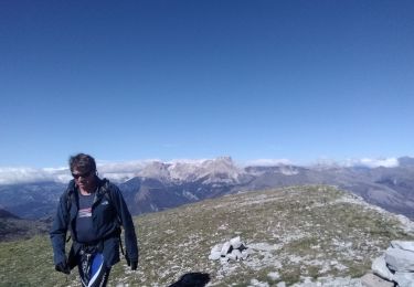
Wandern
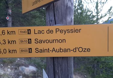
Wandern